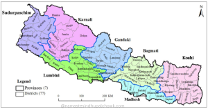
Bhotekoshi rural municipality is one of the 12 local levels (3 municipalities and 9 rural municipalities) of the Sindhupalchok district. According to the information published in the gazette by the Government of Nepal on the 27th of Falgun 2073 during the restructuring of the state, the present Bhotekoshi Rural Municipality was created by adjusting the former Tatopani, Listikot, Fulpingkatti, and Marming Village Development Committees. There are only 5 wards in this rural municipality. This rural municipality is named after the Bhotekoshi River that flows through the municipality.
Wards
- Ward No. 1 - listi
- Ward No. 2 - Tatopani
- Ward No. 3 - Duguna
- Ward No. 4 - Fulpingkatti
- Ward No. - 5 - Marming
Geographical Location
The total area of Bhotekoshi Rural Municipality is 278.31 square kilometers. The eastern border of the rural municipality is connected with Dolakha and Chin, while the western border is connected with Bahrbise municipality and Jugal rural municipality. Similarly, the northern border is connected with China, and the southern border with Bahrbise. This municipality is geographically spread in the highlands. In some places, various service facilities have not reached due to geographical complexity. There is a risk of landslides in weak areas.
Population of Bhotekoshi Rural Municipality
According to the year 2068, the total population of Bhotekoshi was 16772. According to the new census of the year 2078, the total number here is 14239, of which 6980 are women and 7259 are men. According to the census, the population density here is 51.17 people per square kilometer and the annual population growth rate is -1.6 percent.
Health Institutions
There are basic health institutions in almost all the wards of Bhotekoshi Rural Municipality. Marming Health Post, Listikot Health Post, Phulpingkatti Health Post, and Tatopani Health Post are the basic health centers in Bhotekoshi Rural Municipality. This health institution treats basic diseases.
Cultivable Land and Forest
Only about four thousand hectares of the total area is cultivated here. Maize, millet, rice, etc. are cultivated in the arable land. In recent times, commercial farming has started in some amount of arable land here. Most of the area of Bhotekoshi Rural Municipality is covered by forest. Around 170 square kilometers of the municipality is covered with forests, that is, about 62 percent of the area is covered by forests. The entire area covered by forests falls under the Gauri Shankar Conservation Area.
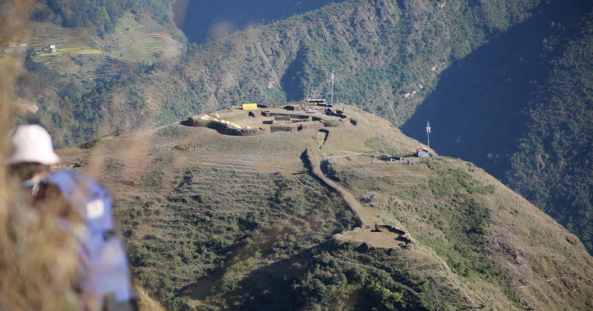
Tourism Places
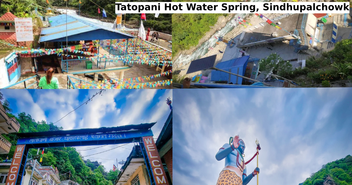
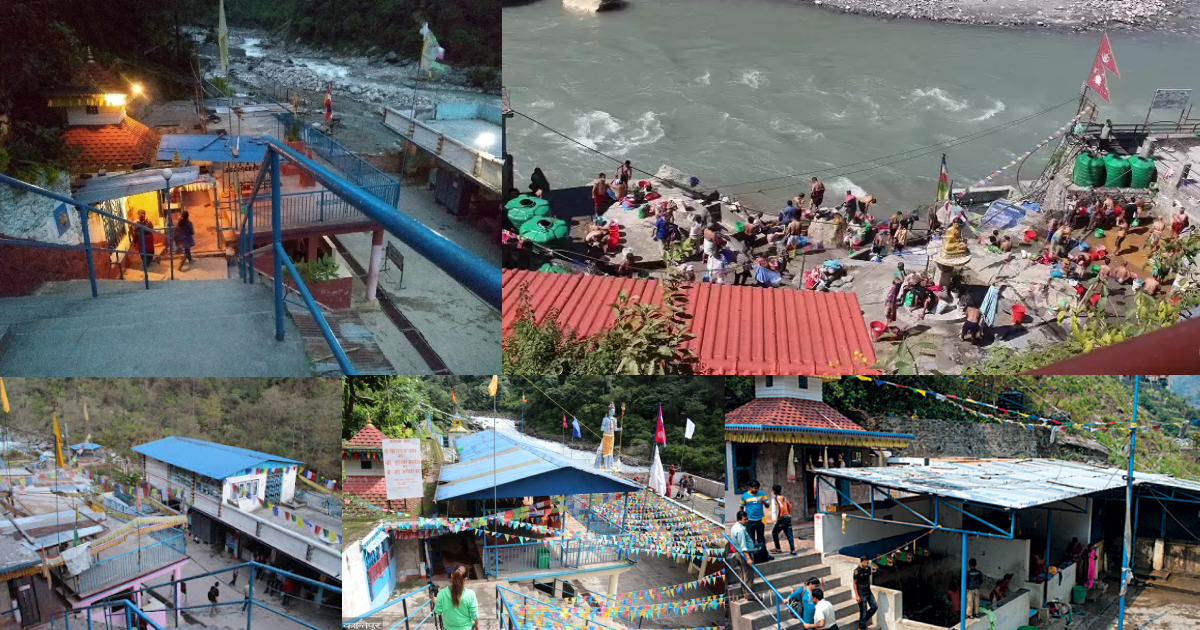
Recently developed Sindhupalchok district's most attractive trekking route Bhairav Kund is an excellent tourist destination. Similarly, Dugunagadhi, Miteri Bridge, Tatopani border, Tatopani Dhara, Marming, and Listikot are the tourist spots of this municipality.
Similarly, bungee jumping, rafting, canoeing, rock climbing, waterfalls, rivers, and natural and scenic views are the specialty here. Bhotekoshi Rural Municipality is very beautiful in nature. The Tatopani port with the neighboring country China is at this local level. The Bhotekoshi river flowing through this village is famous for bungee jumping, rafting, and trekking.